Akbulak seismic array is located in Aytikebi district of Aktyubinsk area near Taldyk settlement. The site is situated in the south part of Akbulaksayskiy granite massif of upper Paleozoic age (ɣ PZ3).
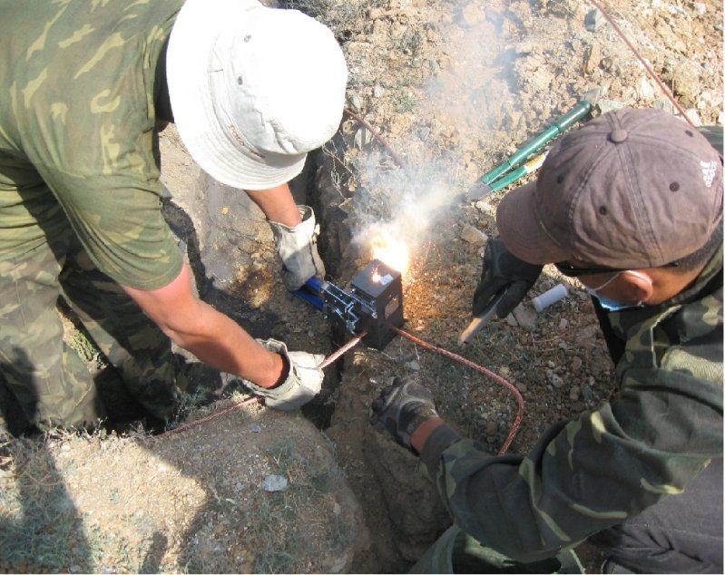
Akbulak seismic array consists of 10 observation points, located in two concentric circles with one central site. Radius of the inner circle is ~500 m, outer circle ~2000 m. Nine one-component vertical GS-21 (Geotech Instruments) seismometers are installed at 9 sites. In addition, there is a broadband three-component station with KS54000 seismometer (Geotech Instruments). Recording instruments are 24-bit ADC AIM24S (Science Horizons). Sample rate: 40 samples/sec/channel. Seismic data are digitized according to GPS. Coordinates and parameters of the boreholes, where the seismometers are installed, are listed in the Table 1.
Response and phase characteristics of the installed seismometers are here.
Table 1
Coordinates and depth of “Akbulak” (ABKAR) seismic array boreholes
| Site № | Seismometer, type | Borehole depth, m | Latitude | Longitude | Elevation above sea level, m | Notes |
| AB31 | KS 54000 | 80 | N49.2556 | E59.9431 | 233 | three-component |
| AB01 | GS 21 | 80 | N49.2556 | E59.9431 | 233 | vertical |
| AB02 | GS 21 | 40 | N49.2591 | E59.9466 | 230 | vertical |
| AB03 | GS 21 | 40 | N49.2511 | E59.9431 | 234 | vertical |
| AB04 | GS 21 | 40 | N49.2578 | E59.9371 | 236 | vertical |
| AB05 | GS 21 | 40 | N49.2736 | E59.9431 | 239 | vertical |
| AB06 | GS 21 | 40 | N49.2611 | E59.9693 | 231 | vertical |
| AB07 | GS 21 | 40 | N49.2410 | E59.9593 | 230 | vertical |
| AB08 | GS 21 | 40 | N49.2387 | E59.9280 | 234 | vertical |
| AB09 | GS 21 | 40 | N49.2614 | E59.9181 | 237 | vertical |
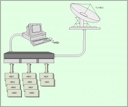
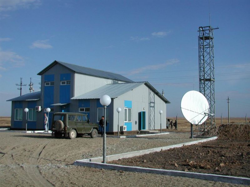
Communication system of “Akbulak” seismic array
Information from remote sites of “Akbulak” seismic array, AB01 – AB31 is transferred via radiotelemetric channels to the Central Recording Facility where three incoming data streams are merged into one outgoing which is forwarded to the Data Center in Almaty via satellite channels. The system is operated remotely from the Central Recording Facility and from the Data Center. From Almaty the data of “Akbulak” seismic array are transmitted to American National Data Center (USNDC) in Florida (USA).